Nevada Plateau Geological
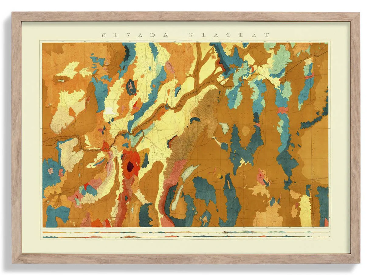
Where the Nevada Basin chart maps a sunken geography, this plateau survey turns attention to elevated terrain — broad mesa formations and the horizontal sweep of high desert geology rendered with field-survey precision. The composition works across a wide register, strata annotated in careful layers, topographic transitions marked with the confidence of a practised scientific draughtsman. Muted earth tones — ochres, browns, and warm greys — give the chart a visual coherence that transcends mere documentation. Landscape perceived through the lens of nineteenth-century geological method.
As an archival fine art print, the fine annotation detail and tonal layering of this survey are reproduced with exceptional sharpness on museum-grade fine art paper. Printed in our Berlin studio to honour the precision of the original draughtsmanship.
Original: $20.93
-65%$20.93
$7.33Description
Where the Nevada Basin chart maps a sunken geography, this plateau survey turns attention to elevated terrain — broad mesa formations and the horizontal sweep of high desert geology rendered with field-survey precision. The composition works across a wide register, strata annotated in careful layers, topographic transitions marked with the confidence of a practised scientific draughtsman. Muted earth tones — ochres, browns, and warm greys — give the chart a visual coherence that transcends mere documentation. Landscape perceived through the lens of nineteenth-century geological method.
As an archival fine art print, the fine annotation detail and tonal layering of this survey are reproduced with exceptional sharpness on museum-grade fine art paper. Printed in our Berlin studio to honour the precision of the original draughtsmanship.